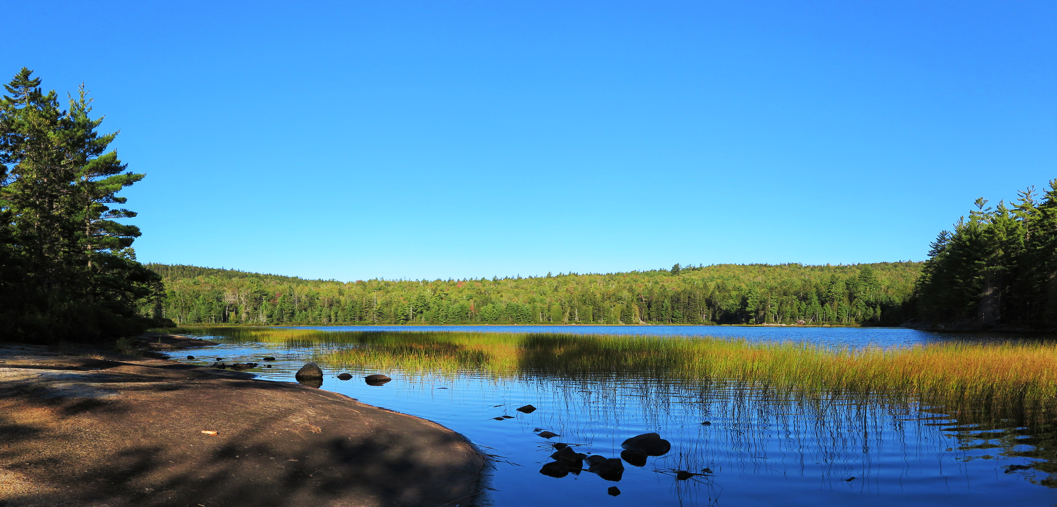
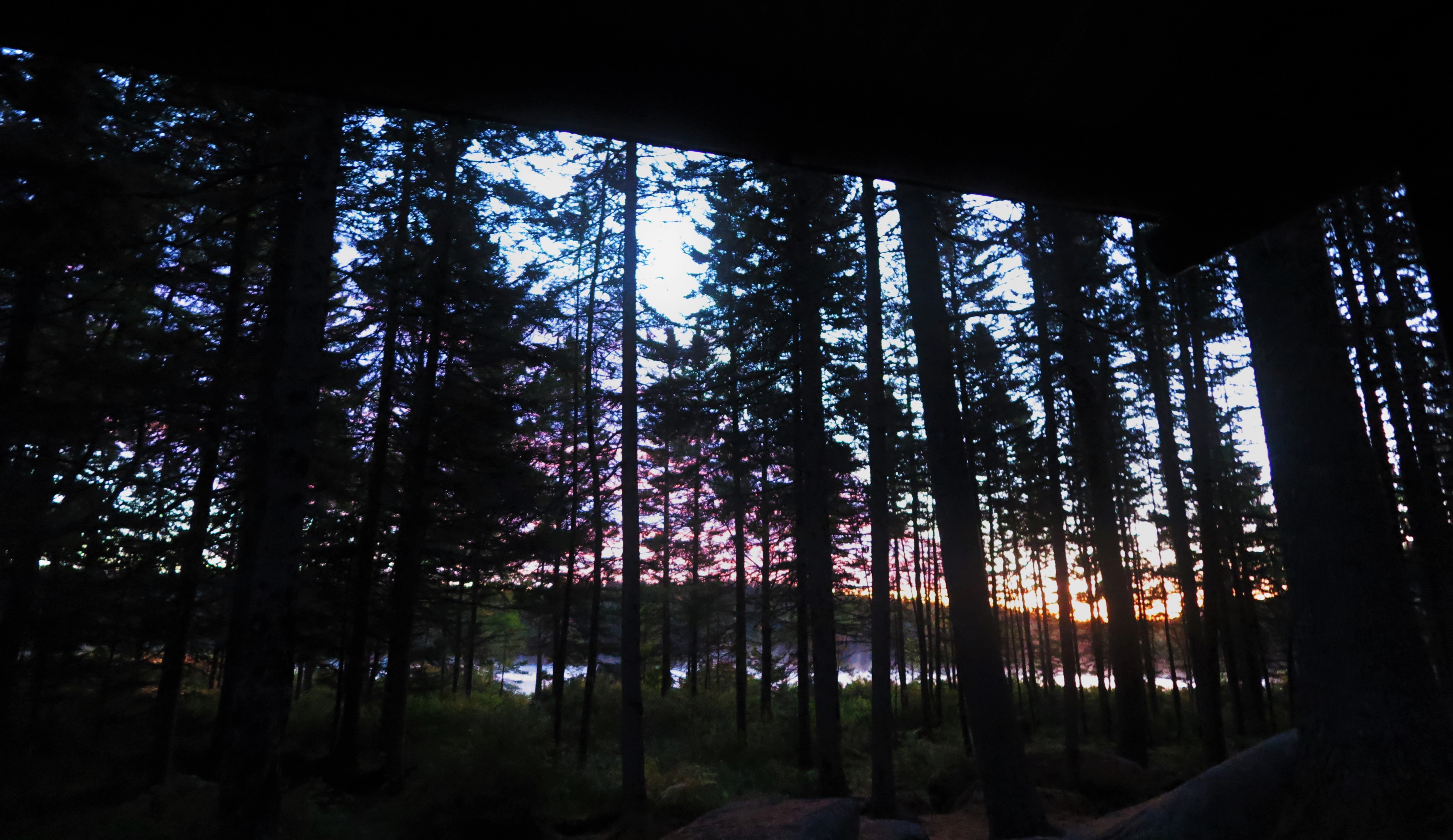
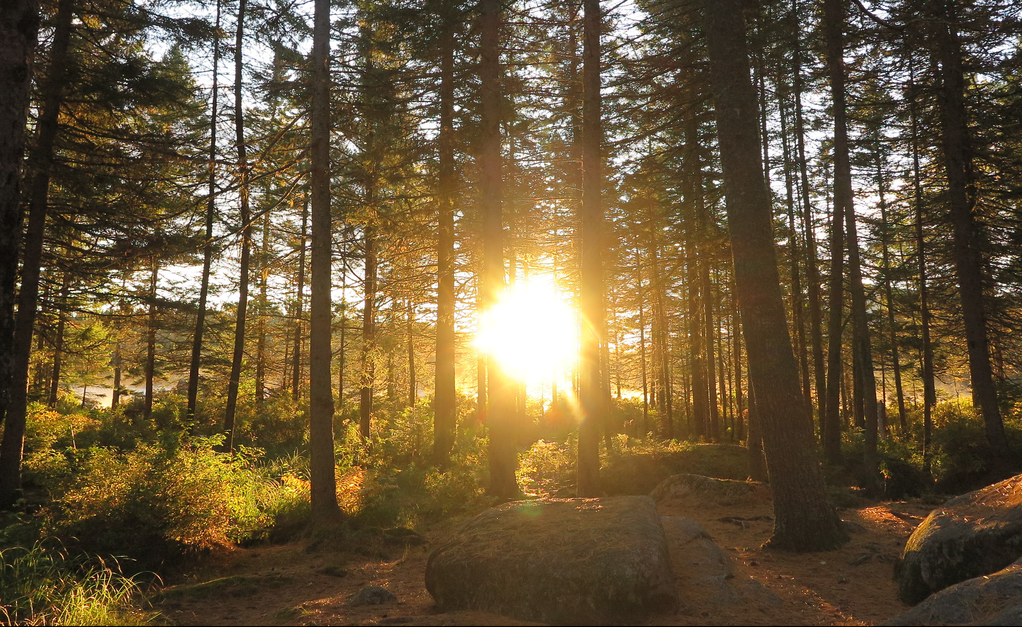
I was posing this question to myself quite seriously recently, as I lay in my sleeping bag in below-freezing temperatures a lean-to in at Russell Pond, a remote hike-in campground in Baxter State Park in Maine. I had intentionally roused myself in the pre-dawn darkness, giving myself time to slowly bring one item of my hiking clothes into my sleeping bag at a time, to warm them up and don each item once it was no longer icy. By the time I had finished this process, I was beginning to see subtle glimmers of light reflecting of the pond through the dark spruce trees.
Once I awkwardly struggle into each item while still in my bag, I have no more excuses not to get up and out of it. And by get up and out of it I mean un-cinch the bottom so I can stick my feet out and put my boots on and shuffle around camp still “wearing” my sleeping bag. It was cold.
My first priority is coffee. (The passing thought of skipping coffee to hit the trail all the earlier had been quickly dismissed.) This requires untying and lowering my bag of food hung in a tree for the night, to keep it safe from both bears and other smaller – but just as hungry – critters, and getting water from the pond and squeezing it through my filter. The coffee, paired with a gourmet breakfast of gorp and dehydrated squash spiced with cinnamon and sugar (highly recommend, sort of like dehydrated apples with the chewy texture and cinnamon, but a vegetable!), in addition to providing me some nourishment before a big day, allows me to sit (still ensconced in my bag) and enjoy the ever-increasing light reflecting through the trees as the sun made its way closer to appearing over the horizon.
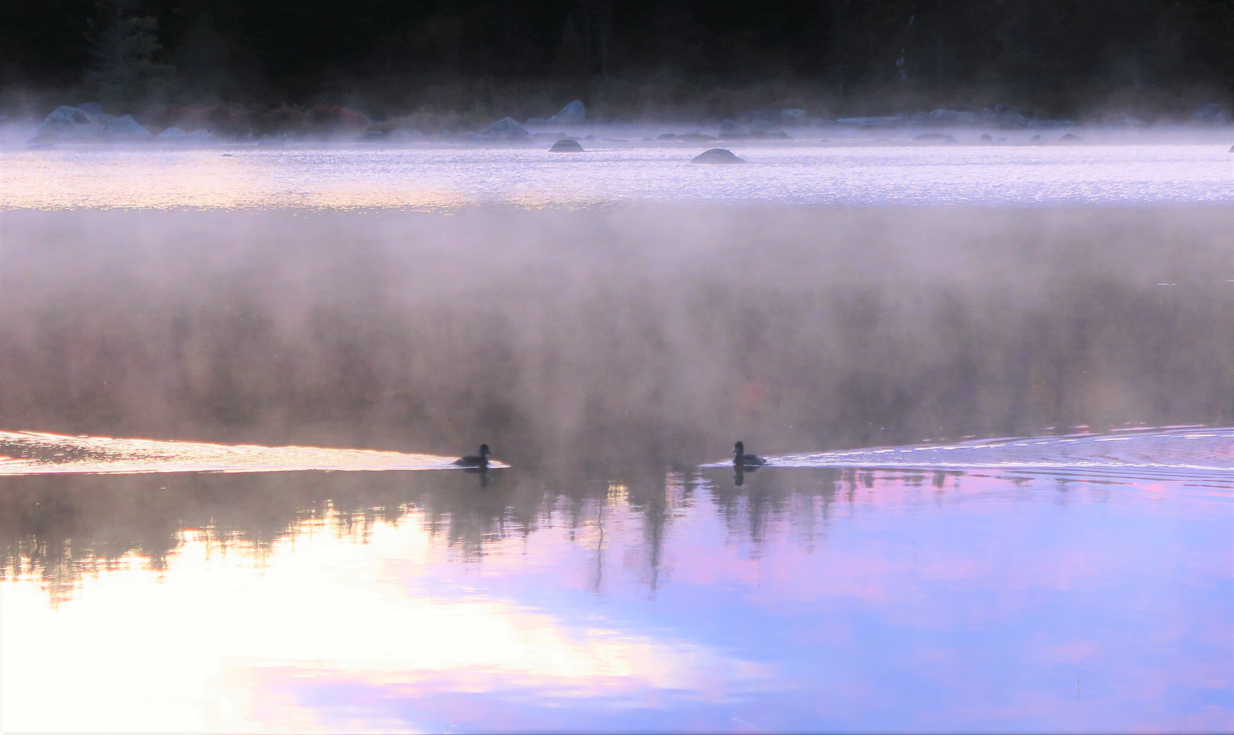
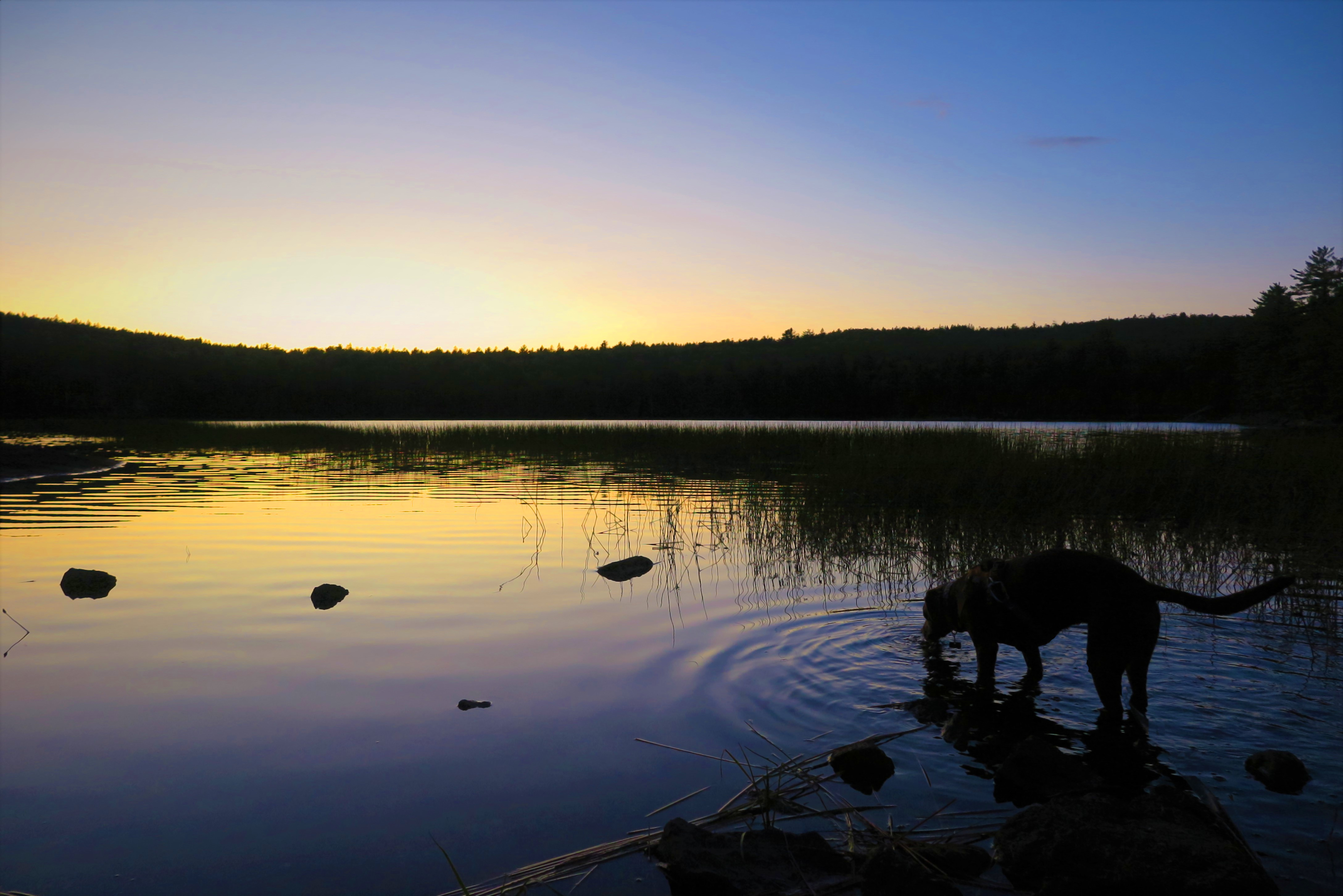
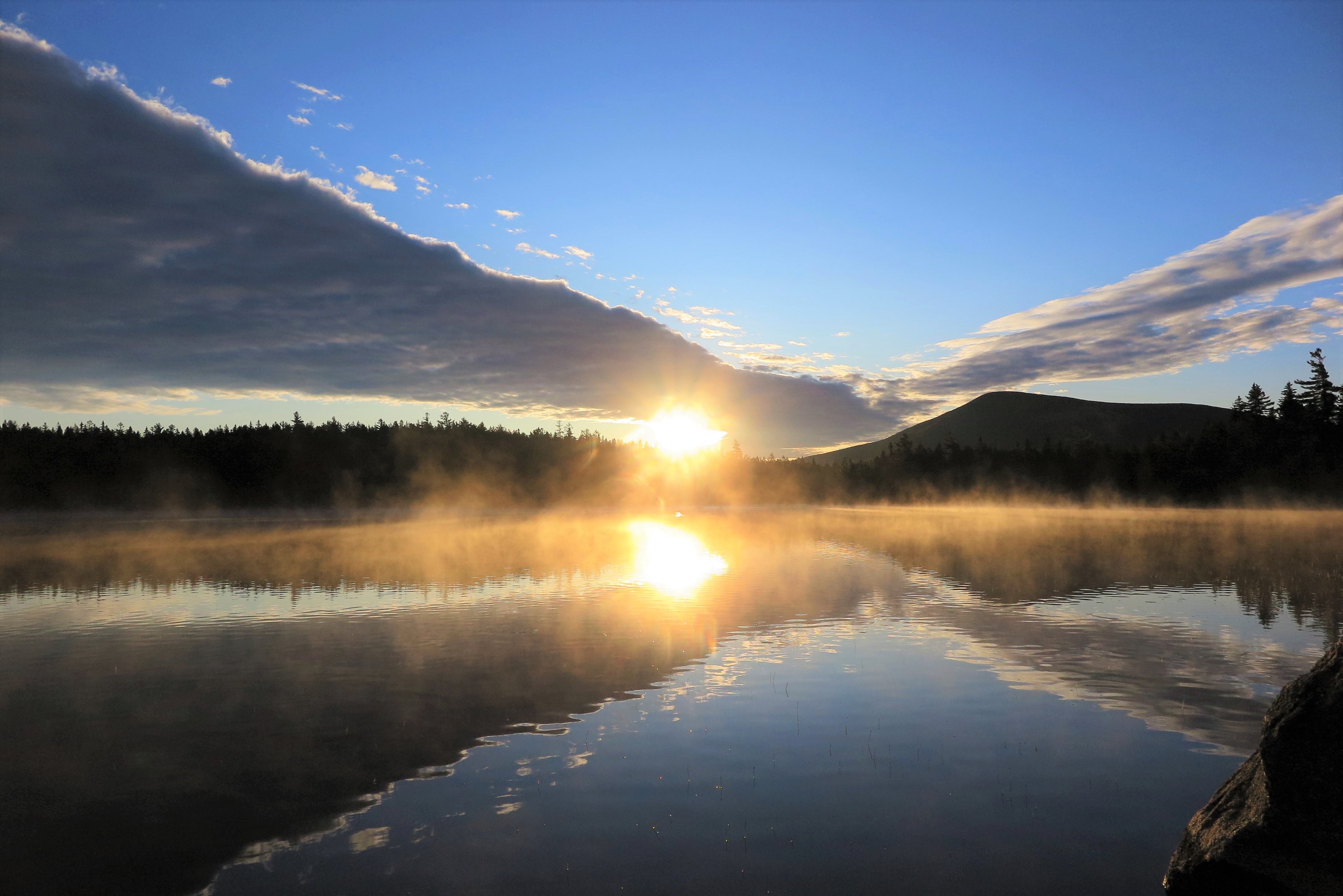
As the sun begins to emerge above the trees directly across the pond from me, I’m lured back down to the shore. It was the very definition of tranquility. A mist hovering over the water was shaded a pink-purple hue by the rising sun, and I spot a lone duck materializing from the mist as it swims through the water. But no, there’s another duck, swimming from the opposite direction, coming to meet the other. The pinks and purples lazily start morphing into oranges and yellows as the sun makes its way closer to the horizon, until that moment when the sun begins to shine its first rays over the trees below the clouds, turning the light delicate yellow, and the sky various shades of azure. I’m entranced as I observe this most routine, yet at the same time extraordinary, occurrence.
Once the sun has fully risen I snap back into the realities of the day, which consists of quite the long and vigorous trek. My original plan had been to hike up – very up – to Davis Pond, which is about two-thirds up Mount Katahdin, sleep at the lean-to there for the night, and the next day hike up the remainder of the mountain and all the way down again via another longer route. A tough climb up to Davis, and a long second day, but at least the long day would be mostly downhill, and so should be manageable. I was a little concerned about my knees holding up for this. There was a time when I never thought I’d be able to make it to Davis Pond or over Katahdin will a full pack, but between getting hiking poles and, more importantly, investing in some good gear to lighten my pack, I was confident, if a bit trepidatious, that I could do this.
The weather gods had other ideas. The forecast called for rain – and lots of it – on the day I was supposed to have my long hike above treeline. I had realized this even before departing from home for the trip, and had resigned myself to the fact that if it was completely miserable – never mind missing out on all the above-treeline views, but 8+ hours in the rain and much of it in highly exposed areas – I might have to simply hike up to Davis Pond and then hike back down again via the same route, and skip going over the mountain. I was pretty bummed about this, but I can’t control the weather, so I had to accept it.
Until it occurred to me. Wait… why not do the loop in the reverse direction, heading up the long way, above treeline and over the mountain on the first day with forecasted sun, and then the following day when the rain was due make the short if steep trip back down from Davis?! Why not? Well because it would make for a crazy long day that’s why, not only adding extra miles to my longest hiking day of the week-long trip, but doing my long day up and over the mountain instead of mostly just down!
But of course, the weather and my desire for a really cool long hike on a decent day won out over reason in the end, so with the encouragement of Ranger Greg at Russell Pond, who agreed it was the best option given the weather (“It will be quite a long day” he cautions), I decided to make my most difficult day even more challenging – adding a couple more miles on for a total of 12 miles, with an elevation gain of over 4,000 feet, carrying a full pack.
Strangely (stupidly?) I was crazy excited about it. I had suffering from ill-health for the summer and so had not done a full-on full-day adventure-of-a-hike all season, and I was relishing the opportunity to do so. Yes, it would be a challenge, but that was what made it so enticing! Plus, I would get to enjoy my long day above tree-line in the sun with spectacular views instead of in the rain and fog, even if doing so while going UP the mountain instead of down.
An extra bonus that made the idea slightly more palatable was that I could leave a cache of food the fuel on a bear line at Russell Pond, what amounted to 4 pounds – 20% of my total pack weight – for the two night adventure before I’d be passing through the campground again. For me, the difference between a 24 pound pack, which is pushing the edges of comfort for me, and a 20 pound pack, is the difference between “OMG no!” and “Race you to the top!”
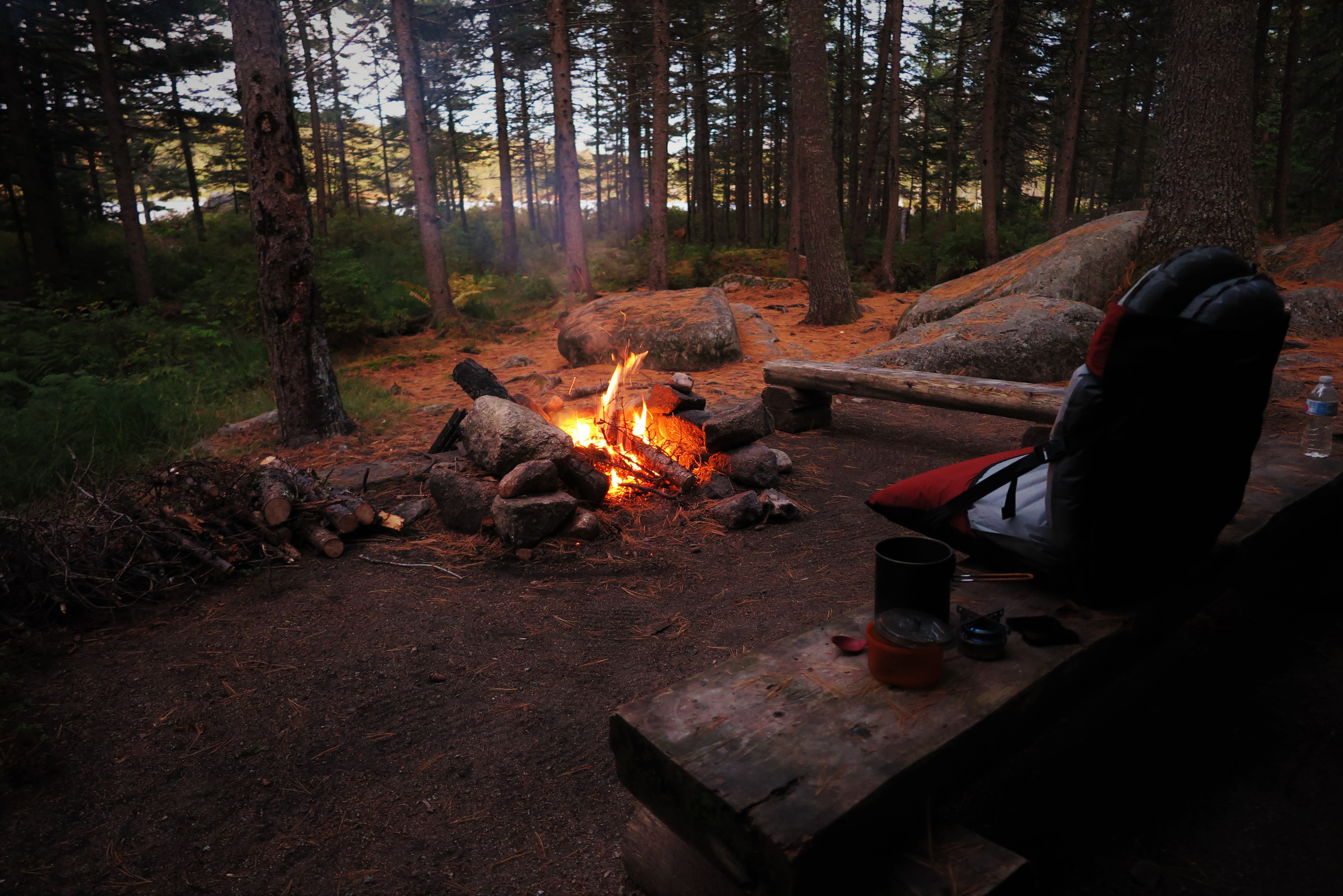
So before dinner the evening before my big day I spent some time sorting through my food stash and separating out the lightest foods that would get me through the next two days, from the rest that I would cache at Russell Pond. I had hauled and sawed up a great supply of firewood that afternoon for the evening’s fire, but even after a whopper of a campfire I still had sawed logs to leave for the next camper, as I turned in early to get a good night’s rest before the next day’s trek.
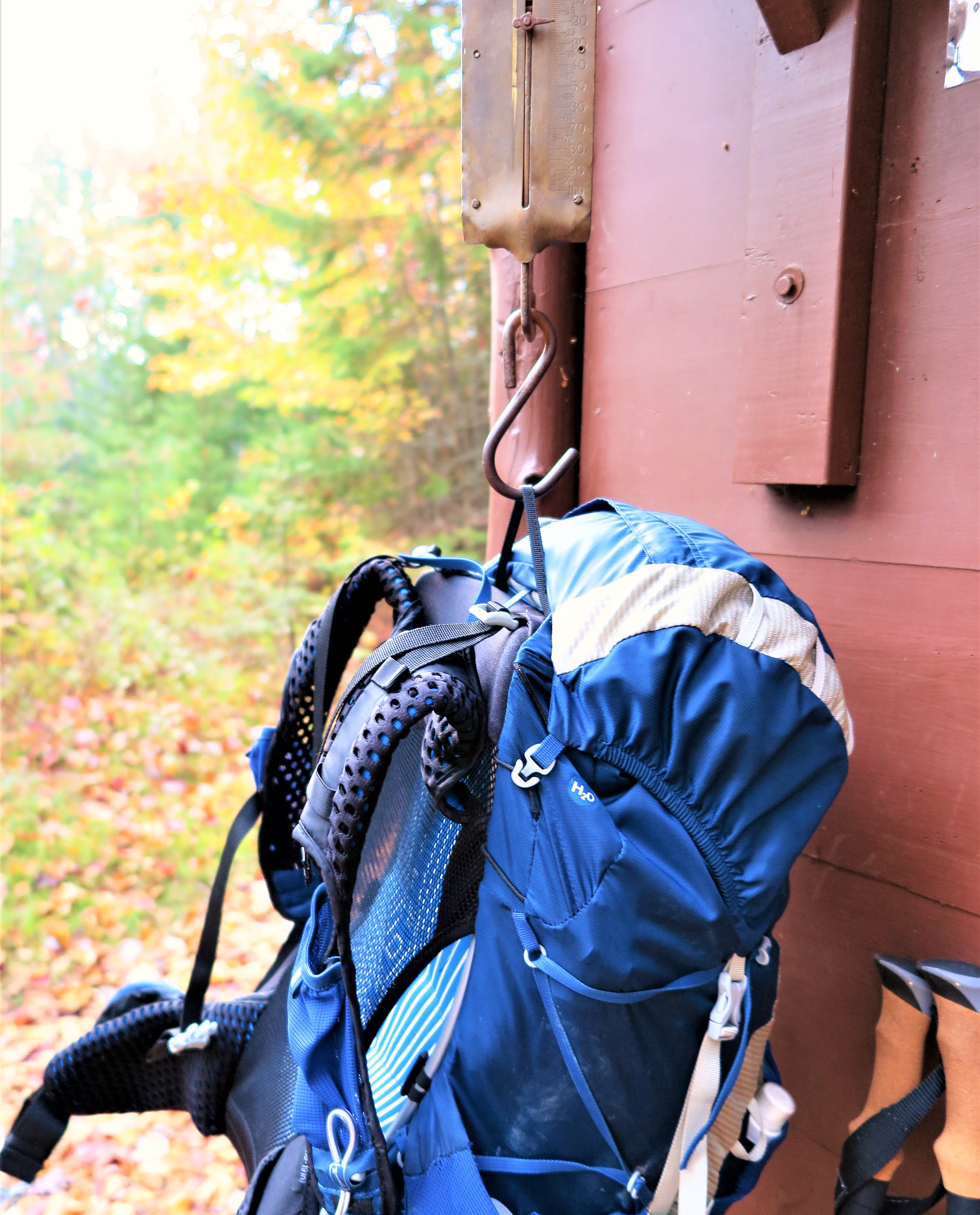
And then there I was, rousing myself in the pre-dawn frigidness for the long day ahead of me. But I was ready, and what’s more I was super excited for it! The beautiful sunrise over the pond may have delayed my departure somewhat, but it got my day off to such a wonderful start. As I left the campground, I weighed my pack – which was feeling much lighter without a good portion of the food and fuel – on a scale to discover it was in fact down to only 20 pounds, which I knew from previous experience was a weight I could haul up tough climbs and over mountain passes, so that just elevated my spirits and confidence all the more.
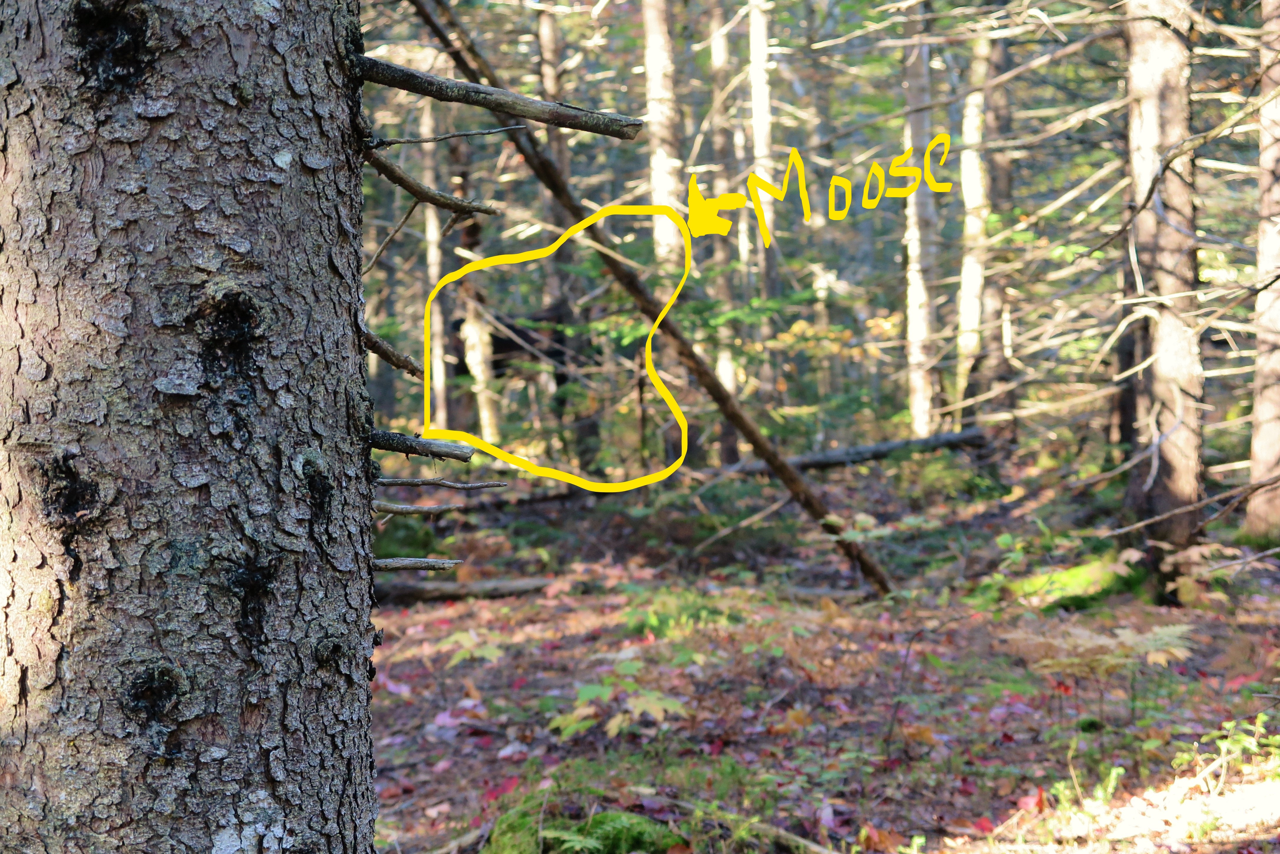
I head out moving along at a fast pace in the early morning chill (temperatures still hovering around freezing) and feeling great. I had gone less than a mile when I heard something in the woods in front of me, off towards the right. Other hikers? I wouldn’t have anticipated others here on the quiet less-used trail at this early hour, but possible. But no, it was not humans I had heard, but moose! Two big beautiful moose not more than 20 feet away from me in the woods. The closer moose was a giant bull, tall and dark and handsome with a full set of antlers. He was quite close, I got a good look at him, though the thick woods made getting a photographic difficult. Compounded by the fact – as a later discovered – that my camera decided to focus on a tree trunk in the foreground of the shot instead of on the moose. So major photo fail, but I had a great view of the moose in person. Instead of trying for a good photo I decided to let the moose be and not bother him, and continued on my way down the trail.
The moose encounter was only a few hundred yards before my first crossing (of three) of Wassataquiok Stream. I knew it was coming, but when I saw what I had to cross I felt my apprehension rising. This was no lazy river, but raging rapids that I had to navigate. After scoping out a hopefully doable route, off come not only the boots and socks, but pants as well, as it seemed I might being going in thigh-deep and didn’t want to get the gear wet this early in the day in this cold weather.
I scoped it out and determined upon a route that seemed the lesser of evils. I was apprehensive, but it had to be done.
Encountering rapids in your path, there’s not much to be done but to take off your pants, determine the best route, and start at it.
That first step into the cold water was rough, but in I went. I went only a few steps before I placed a hiking pole down in front of me to check the depth, and down it went all the way to the handle. Retreat! So I pattered around in bare feet and bare legs rock-hopping around looking for another option. I found route that looked likely, if I could manage the rapid current between two rocks and another in the middle of the stream. I got to that point easily enough, and then very carefully stepped onto that rock in the fast current, which to my relief was only maybe a bit over knee-deep. I got my poles into position with one hand, and my other hand to the rock in front of me, which allowed me to scoot my feet through the raging current and my butt onto the further rock. After managing to swing my feet around without toppling off my perch on the rock, it was essentially smooth sailing from there. I was glad to be across with no mishaps!
 I was so focused on getting across the river I didn’t get any photos. But this image EXACTLY captures how I felt on standing on that rock in the current in the middle of the stream, giving myself encouragement in my head (actually I think I was muttering out loud) – “You’re OK, you can do it, you got this!”
As I dried off and redressed, I couldn’t help think that here it was but barely 9AM, and I had already enjoyed a spectacular sunrise over the pond, encountered moose, and successfully navigated a difficult stream crossing. This was going to be an amazing day!
Clouds had come in while I managed my way over the stream, but the trail through the woods was quite pretty, with the dark spruce contrasting with the bright bursts of color from the maples, birch, and aspen. The trail got steep! I had anticipated this, but luckily the severly steep sections were broken up by just very steep sections, providing some measure of relief. It was tough going, but I enjoyed the autumness of it all, even as I was suffering just a bit.
I of course did – gloriously – make it up to treeline, my intermediate destination and designated “breakfast” stop, at the first small peak. It was an interesting view in that it was a different perspective than I had encountered before, but I could see many of the places I had previously visited. By the time I had admired the view and studied the map to confirm what I was looking at, I was getting chilled and wanted to be moving again, so I didn’t make much progress on my snacks before setting out again.
It was quite intimidating looking up and over from this location at the North Peaks that I had yet to summit and cross! But that was my route so I set off to cross them. The most challenging section was reaching the southerly of the North Peaks. Talus fields, giant rocks to scale, and all quite a steep climb UP! So it was all the more spectacular when approached what I assumed was a false summit, when there, between a rock on the right and a giant cairn on the left, appeared Katahdin’s Knife Edge like magic over the peak.

From then on, it was smooth sailing, and utterly amazing. The sun had reappeared by then as well, and remained shining the rest of the day. Not only was the second North Peak and Hamlin Peak no big deal to ascend from there, but I had the view of Hamlin Ridge off to my left, with the Knife Edge and Pamola and Baxter Peaks with the bowl and ridges just beyond rising behind Hamlin Ridge, and the plateaus and tablelands stretched out before me into the distance.
Once at Hamlin Peak, I continued down Hamlin Ridge until I found a lunch/snack/rest spot that was just right. I was at the north edge of the ridge with the north bowl below me on the left, and the North Peaks I had ascended that morning across the bowl. To my right was the main part of Katahdin, with the Knife Edge stretched between its two peaks. Just below me on the ridge were some unidentified pigeon-like birds hopping around and peeping to keep me entertained.

With the sun out and little wind, I was quite comfortable, and it was only a large group of loud day hikers that eventually encouraged me to be on my way. After a day of not seeing another soul, this rubbing up in near proximity to “civilization” in the form of day hikers blathering away and pulling out cell phones (which are not allowed in Baxter for good reason) was as much as a brush with my human brethren as I had need for, and while I enjoyed my extended time on Hamlin Peak I eagerly left it to get back onto the more off-the-beaten-path trails.
The (relatively speaking) off-the-beaten-path trail was the Northwest Basin Trail. In the past when I had hiked Katahdin, I was always intrigued by the northwest basin & plateau, but it requires an overnight with climbing a significant elevation to reach it, and with the knee-trouble I’d suffered from, I never thought I’d be able to go over the mountain with a full pack. Davis Pond the the Northwest Basin remained elusive no-goes for me, couldn’t be done. But… never say never! After substantially reducing my base pack weight and getting hiking poles, I had made it over a considerable mountain pass on the Chilkoot Trail the previous season, on the border between Alaska and Yukon Territory, Canada. If I could handle that, I could certainly get up Katahdin with a full pack!

So it was thrilling and wonderfully satisfy on this trip to actually to take that turn at that trail junction and head off to the northwest basin at last, which was everything I could have imagined and more. It was mid-afternoon by this time, which in Maine in October means a low slant of light, giving a golden glow to the grasses covering the plateau, studded with clumps of stunted spruce and punctuated by glacial erratics, surrounded by mountains in every direction in the distance.


I knew I had a challenge before me when I left the plateau and began the descent into the bowl for the last mile of the day. I was prepared for the crazy steep scramble down, but I hadn’t realized I would effectively be traversing down the middle of a stream! “Wet” the ranger described this trail… I’ll say! And what’s more, there were big rocks to climb over and slide down, washouts under tree roots to tumble over; just an incredibly difficult trail, and all this while dropping in elevation at an alarming rate, wet and slippery, at the end of a long day.
This last mile was extremely slow going, and mentally I was done. If it had been an even, level trail, I could have pushed through physically. Yes my legs were tired and my energy low, but it was the mental challenge that was pushing at the edges of my sanity at this point. It was with immense relief that I arrived down to Davis Pond and the lean-to at long last.

I was pleased I had made it in time to catch the last of the sun lighting up the cliffs around the pond. I found a spot to sit near its shore to watch the shadows slowly making their way up the cliffs, a waterfall pouring down high up near the ridge, and a beaver swimming and slapping his tail in the pond below me.

But I have to admit, my heart wasn’t quite in it. The lean-to location itself was something of a disappointment, definitely more of transient place to crash for the night than a camp at which to hang out, and no real good place to perch by the pond itself, which was out of sight from the lean-to. With the sun going down and me covered in dried sweat after a day of exertion, I was getting chilled fast, so I did the best I could to remove a layer of stink via a frigid sponge bath, and retreated to the lean-to for an early dinner.
But I got stuck. Mentally stuck. I knew my spirits were flagging because, on top of a tiring day, I was so entranced by my surroundings all day that making sure I got some food into me had taken a back seat to everything else, and I realized that I had actually eaten very little all day (which says much about the wondrousness of those surroundings, as usually food is my top priority!)
I knew I needed some hot food to cheer and warm me as I continued to become increasingly chilled. Yet still, I sat and watched the gathering dark for a while, unable to motivate to simply heat up water, before I finally dug down for the force of will to get my stove lit, dig out the dried soup and dried veggies to add, and get some sustenance in me.
And, for the most part, the soup did the trick. I called it a day after the soup – a magnificent, majestic, magical day – and cozied up in my bag. As I drifted off, I was able to fully enjoy sleeping up at that high elevation with the cliffs of the mountain peaks topping out just above me, the sounds of the waterfall tumbling down the cliffs and the wind whistling its way around them, with the only company for many miles around being the squirrels and the beaver and the moose and other four-footed folk.
The following morning I awoke to rain, but it had subsided to simply fog by the time I was ready to depart. The hike down began through unexpected boggy areas in the bowl, with the ground dropping away on one side to the cliffs across the way, and it felt like a world of nymphs and spirits in the blowing fog.
I encountered my next crossing of Wassataquiok Stream right about when I was expecting it. While it did cross rapids, there was a clear route across that was much easier than the crossing the previous day, and this time I took plenty of photos once on the other side.
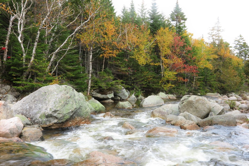
After the crossing the trail following Wassataquiok Stream, which dropped quite fast in this section, over giant-sized boulders. The trail navigated some of these giant boulders as well, through a dark spruce forest, it was all quite enchanting.
Beautiful though it was, I can’t say I was entirely sorry when the trail flattened out into an even, gentle-grade, path, strewn with the bright colored leaves of the hardwood forest I had entered. For the first time in two days, all I had to do was simply WALK!
Instead of heading back to Russell Pond, the campground at which I had begun this little adventure-within-an-adventure, when I had initially planned the trip I decided I would make the effort to go a bit further and spend the night at a lone lean-to on the banks of the Wassataquiok before returning to Russell Pond the following night. This route took me through New City, where there was a logging camp at one point in time, remnants of which can still be seen. It also happens to be a remarkably pretty and enjoyable section of trail!
To reach my lean-to for the night, I had to cross the Wassataquiok one more time – but this time, while there was a current, it was over a smooth if rocky bottom, so no rapids to navigate. Plus, I could see my lean-to humbly waiting for me on the far side of the bend in the stream. This made it ever-so-slightly easier to take that first step into the cold water, after once again ditching both boots and pants. It was an easy crossing, but I had accidentally taken myself across through a dip in the stream bottom, ending up in the water up to my hips! Whoops! But hey at least I was half-bathed for the day!

Upon reaching the far bank, with the lean-to just around the corner, I didn’t bother putting my boots and pants back on over wet undergarments, but instead walked barefoot and bare-legged – in the windy, cloudy, 40 degree day – around to the lean-to. When I got there I was overwhelmed by how magnificent it was! Typically in Baxter the lean-tos are placed a bit away from the water source by which they are located, to lessen their impact. But at Wass Stream, the lean-to was right on the bank, overlooking the bend in the river with the mountains rising up beyond, the bright autumn colors blazing among the leftover fog still swirling around.
I was so overcome by the overall beauty, as well as the remarkably sweet lean-to location, that I was running around taking photos and exploring the area for a while before it occurred to me to put my pants and boots back on! (Remember, 40 degrees.) An added bonus was when I found the motherload of downed trees for firewood. After spending a good hour and a half hauling and sawing wood, I immediately got a fire started and kept it going throughout the afternoon and evening until I went to bed.
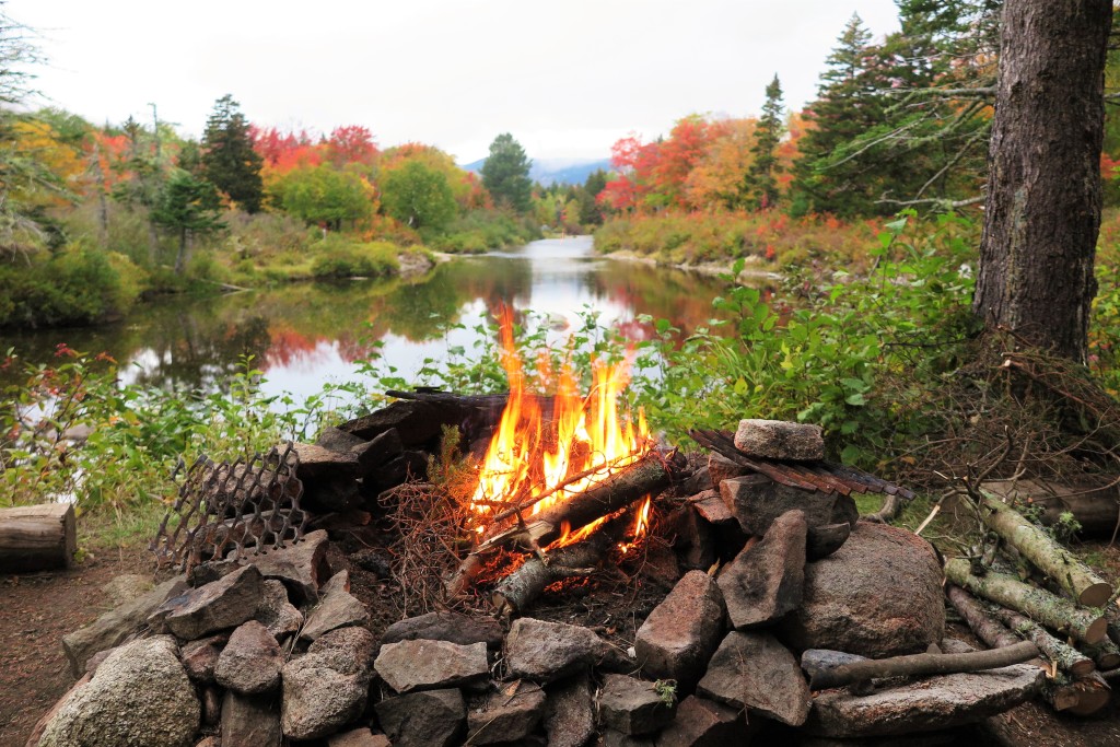
So another pretty fantastic day. This adventure couldn’t get any better, right? But wait! The next morning, I awoke to an “oomphing” sound early in the morning. I open my eyes to see a bull moose lumbering his way across the stream (where I had crossed the previous afternoon). And I didn’t even have to get out of my sleeping bag in the lean-to to see it!


This (quite lengthy) narrative is only one and a half days of an eight day trip in the backcountry. Tranquil ponds, raging stream crossings, mountain peaks, autumnal woods; moose, beaver, spruce grouse; rain, snow, hail, wind squalls, frigid temps, but plenty of sunshine too. It would take a book to relate the entirety of the experience, and how meaningful it was.
There were challenges for sure – both physical and mental, not to mention the difficulty of simply staying warm when I wasn’t hiking. I was out there entirely by myself; more often than not the closest other person would be many miles away at best. I had only myself to depend upon, and as such it would become apparent rather quickly when I faced these challenges what I could deal with easily, and what I struggled with. But each challenge that presented itself I met head on and overcame, which made the highs of the trip all the sweeter.
I travel around the world, but I’m not sure I’ll ever find a place quite as special as this one practically in my backyard (relatively speaking.) I never cease to find the intricacies of the mountain fascinating, and revel in the more out of the way locations where I go for days without seeing another soul. Thank you Percival Baxter for your foresight. I am forever grateful that I am able to immerse myself in this environment from time to time; I find the restorative power it has for me is immeasurable.

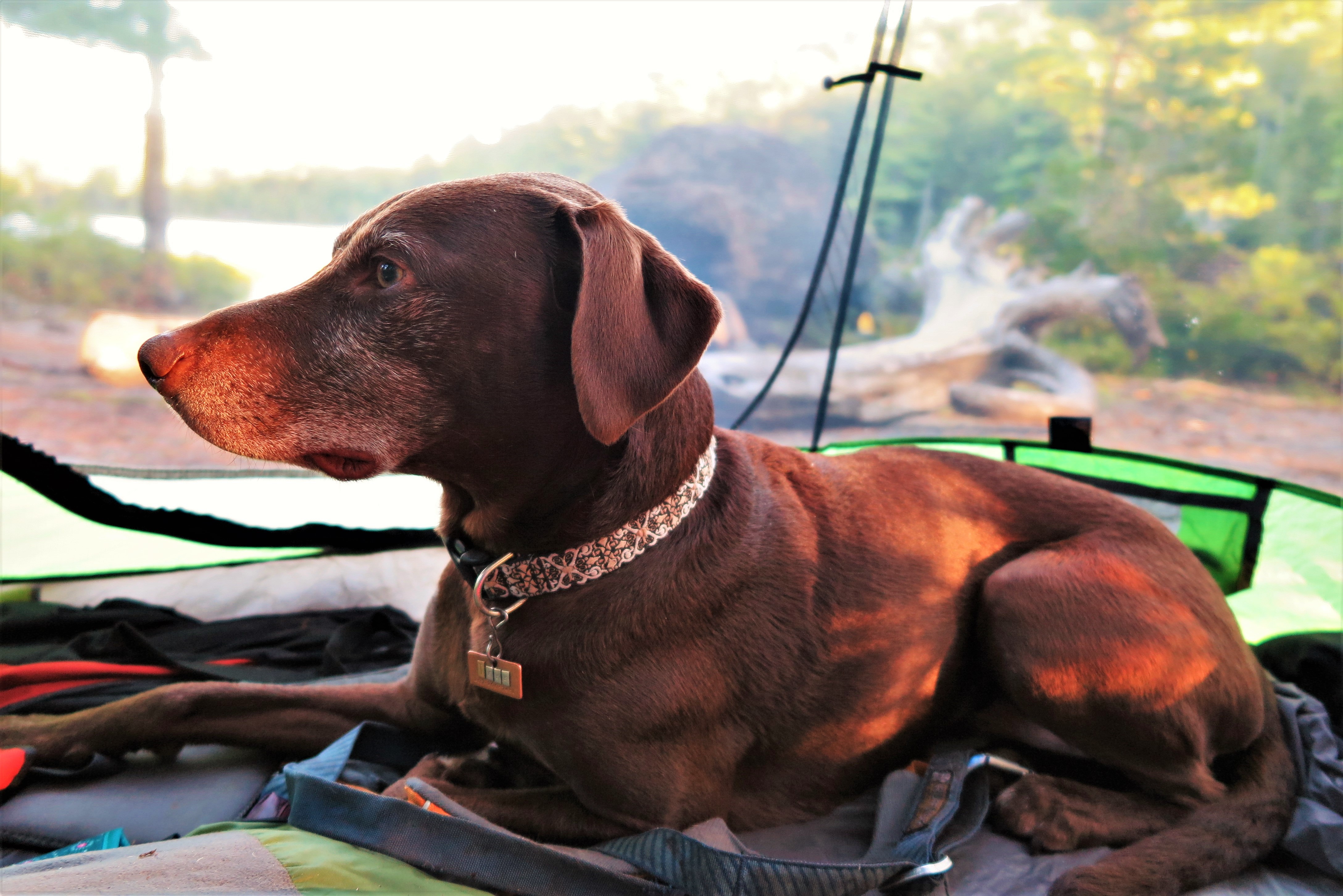
It makes is so hard to return to civilization, the so called “real world.” I will never forget the time Ranger Gabe at South Branch wished me “Good luck with your re-entry” as I was driving off. He gets it! At least upon returning home I could cuddle up with my warm dog under lots of blankets. But I think – I hope – there is a part of me that never entirely “re-enters,” a part of me that always remains drifting on a pond, crossing rivers, feeling small amid mountain peaks, and yet at the same time fully connected to, and a part of, the wondrous sights, sounds, smells, tastes, and feel of all by which I am surrounded. I will consider my life well-lived when I have learned to take how I experience the wilds of our world, and carry that into to my daily life, allowing me to genuinely engage with all that is around me, and live more fully, meaningfully, and deeply.
It’s been a pleasure Baxter State Park, see you next year.Hope Rowan is the author of Ten Days in Acadia: A Kid’s Hiking Guide to Mount Desert Island, published by Islandport Press in 2017, as well as Ten Day in the North Woods: A Kid’s Hiking Guide to the Katahdin Region, published this past May. When not exploring the wilds of her beloved state or further afield, she resides in Southwest Harbor, Maine.
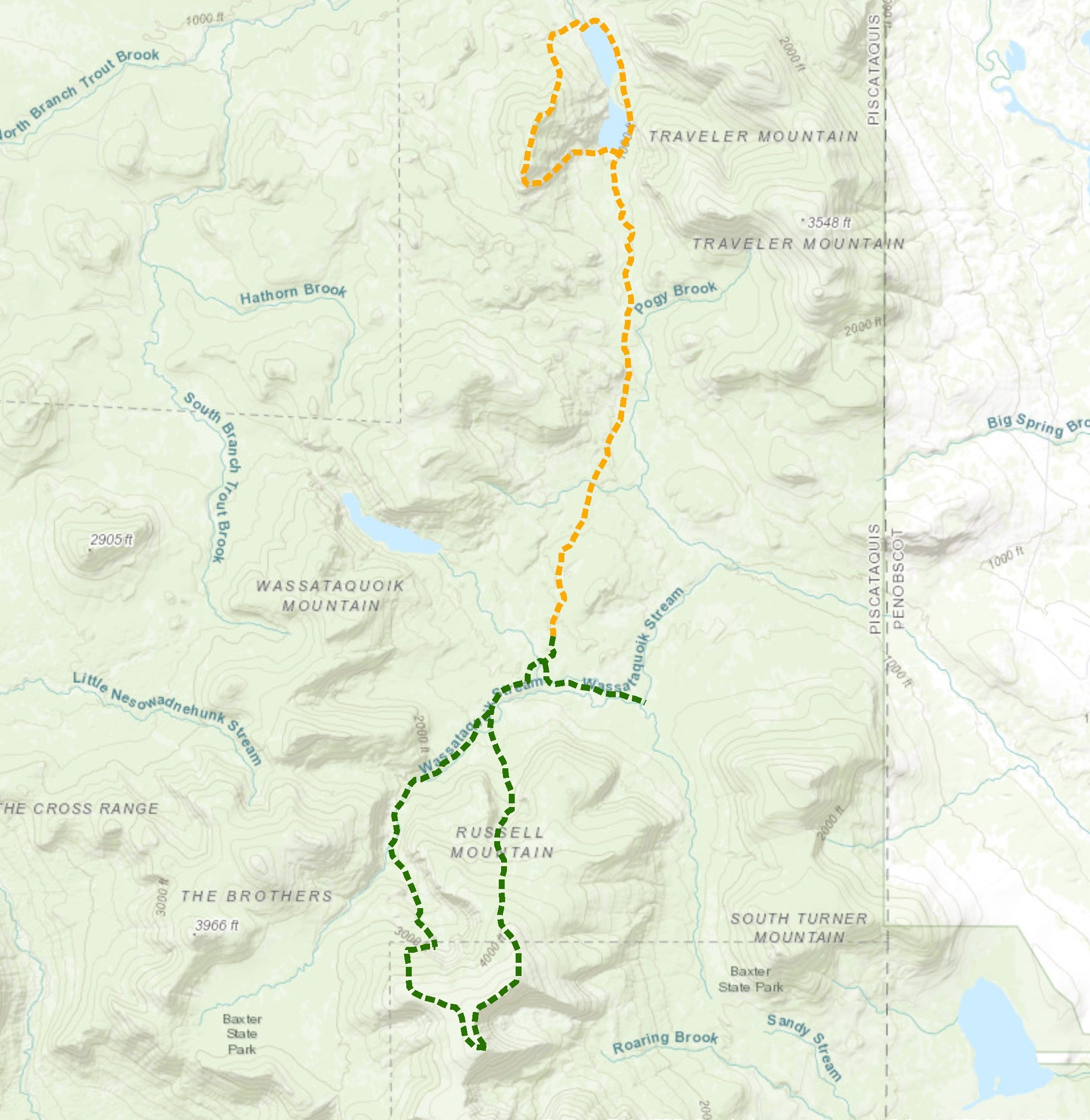 Green=Described Route, Orange=Rest of Trip
